Coasts – Camera – Action: community-driven research for adapting to Willapa Bay’s rapidly changing north shore
Principal Investigator
- Roxanne Carini, Applied Physics Laboratory, University of Washington, rjcarini@uw.edu
Co-Principal Investigator
- Nicole Errett, University of Washington, nerrett@uw.edu
The goal of this project is to partner with two community-rooted organizations, Willapa Erosion Control Action Now (WECAN) and Wash Away No More, to revolutionize the process for assessing the impacts of climate change adaptation by establishing a community-driven photographic beach monitoring system informed by the voices and local knowledge of community members. Specifically, the project aims to: 1) facilitate active community participation in the co-design of project outputs; 2) expand CoastSnap in North Cove to address community research questions; and 3) effectively disseminate project findings to inform policy change. In the short-term, the project will engage the community through Photovoice focus groups, whose participants reflect the diversity of the community itself, and through CoastSnap community science.
Project background
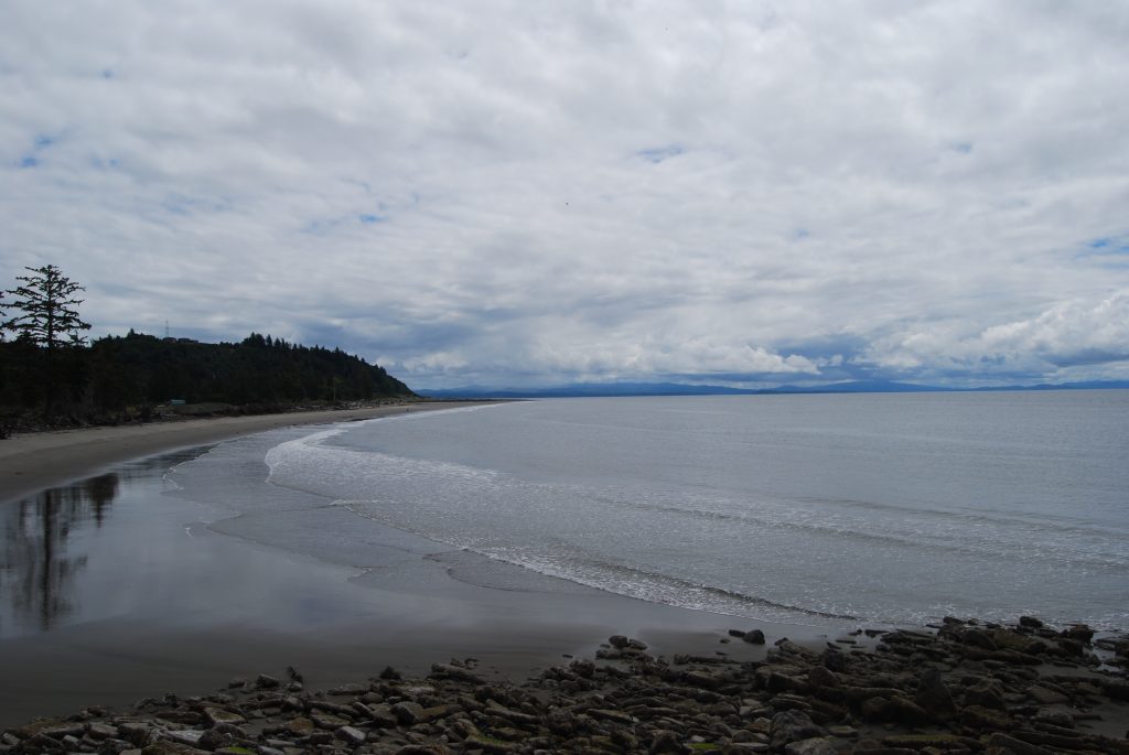
The north shore of Willapa Bay is on the front lines of climate change. For decades, erosion has claimed large swathes of its coastline, with devastating impacts to the traditional lands of the Shoalwater Bay Indian Tribe, the Willapa National Wildlife Refuge, the local economy, natural habitat, homes, and critical infrastructure. North Cove is part of the Columbia River Littoral Cell, a coastal system within which sediment sources, pathways, and sinks can be identified and balanced. North Cove beaches are subject to incoming ocean waves, estuarine tidal currents, and wind waves, in addition to sea level rise and storm surge, whose relative strength and interaction vary seasonally and dictate sediment transport in the area.
Results and findings
After trialing with CoastSnap, the project pivoted photo analysis strategies, choosing to partner with a group of six Electrical & Computer Engineering students to create a machine learning image segmentation tool. The students presented their work to a group of community members and engaged in a rich discussion that provided feedback for the final product, which is now being used to analyze beach photos. Two additional photo stations and accompanying instruction signs are in progress, and the social science team is in the process of analyzing results from community focus groups. Community-contributed photos and photo analysis can fill a critical gap in measurements about how North Cove beaches respond to short-term events, and how erosion mitigation projects, like dynamic revetments, affect beach stability. The other pieces of the project amplify the voices of community members directly affected by coastal hazards and erosion and provide sustainable, long-term tracking of quantitative beach metrics. With these metrics, this project aims to create products that help residents and state agencies collaborate and make decisions about future climate adaptation projects that prioritize equitable solutions to community vulnerabilities.
Contact information
Roxanne Carini
Deputy Director, NANOOS and Senior Oceanographer
Applied Physics Laboratory, University of Washington
206.685.5184
rjcarini@uw.edu