
Sea levels are rising due to two major causes: thermal expansion of the ocean (water expanding as it warms) and the melting of land-based glaciers and ice sheets. As Earth warms from increased carbon dioxide in the atmosphere, the oceans absorb about 90 percent of the associated heat.
There are many local factors that determine if a specific location will experience more or less sea level rise than the global average. Some local factors that determine community-level sea level rise are:
- Vertical land movement caused by the shifting of tectonic plates, sediment compaction, or human disturbances such as groundwater extraction
- Regional ocean currents
- Variations in land height
- Whether the land is still rebounding from the weight of Ice Age glaciers
- Differences in thermal expansion of sea water
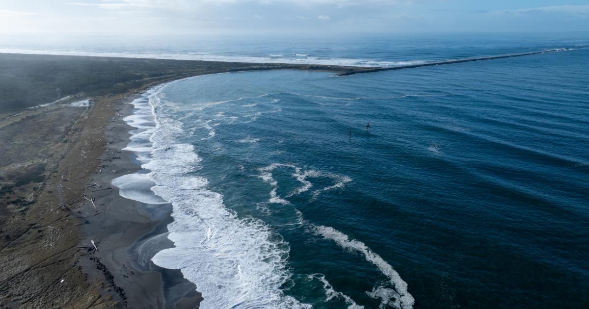
Washington state sea level rise predictions and vulnerability assessments
What we do
- Washington Coastal Hazards Resilience Network
- Coastal Storm Modeling System
- Coastal Hazards Organizational Resilience Team
- Community-led coastal resilience projects
- Coastal Training Program
- Shoreline & Coastal Planners Group