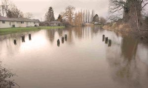
What is a king tide?
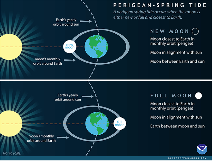
King tides are astronomical events that come in a couple different flavors. One type of king tide starts with a spring tide, which takes place when the Earth, moon and sun are aligned. While the moon generally has a bigger influence on Earth’s tides, the sun also has gravitational effects. When the moon and sun are aligned, their gravitational effects compound, and the high tides become a little higher. Spring tides occur twice each lunar cycle (when the moon is either new or full). These already higher-than-average tides are exacerbated when spring tides coincide with the moon in perigee, which means the moon is particularly close to Earth and so has an even greater gravitational pull on the ocean. The perigee happens at the same time as a spring tide three or four times a year in both spring and fall, creating the most common type of king tide known as perigean spring tides.

King tides also happen when the sun is closest to the Earth in its orbit – a position called perihelion. The sun reaches this position in early January each year. Similarly, in early July, the sun is furthest away from Earth – a position called aphelion – and the gravitational pull is weakened, resulting in smaller tides.

Factors that determine tidal height
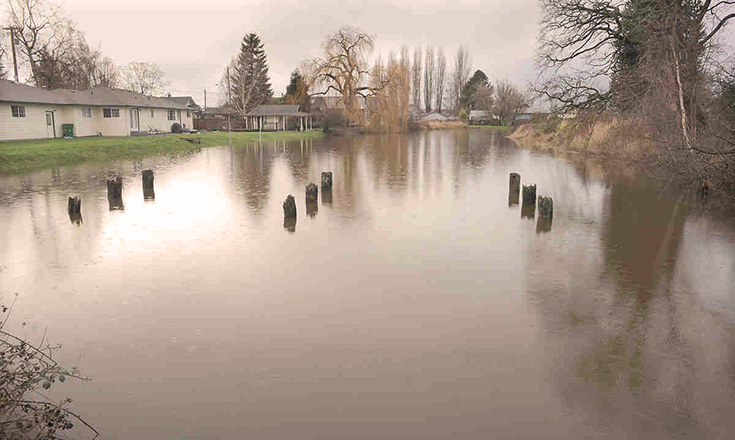
The astronomical circumstances that create king tides are only one factor affecting tidal height in our region. Besides sea level rise, weather, topography and bathymetry are other factors that contribute to tidal height. When more than one of these factors is combined tidal height can compound creating dramatic water levels.
Weather
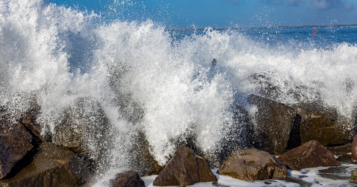
It’s probably not surprising that weather affects tidal height. Many of us have observed the waves rolling onto the shore as a storm approaches. If a low-pressure system – which typically brings in the cloudy, rainy conditions – moves inland, we may see higher tides than predicted. High-pressure systems can depress sea levels, so if one moves into the area we may see tides that are lower than predicted.
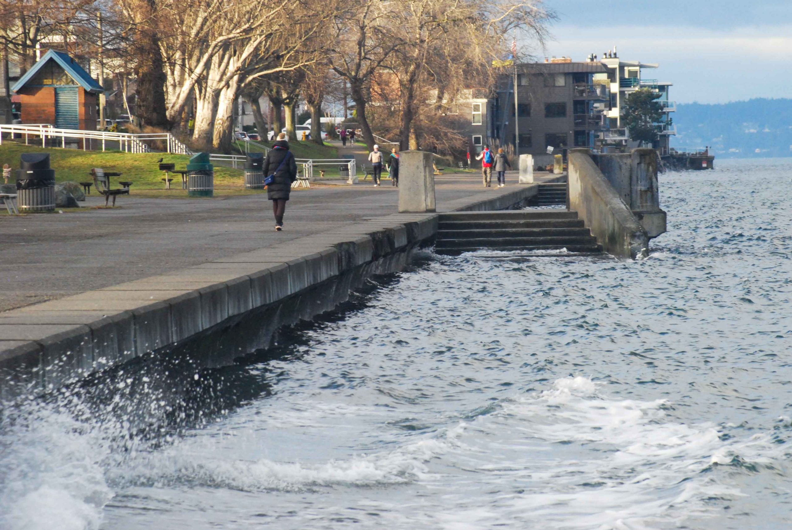
Local wind direction and speed also affect tidal height. If the wind is blowing from the sea to the land it is called an “onshore wind.” This can greatly increase tidal heights because it causes the water to pile up onto the shore. Onshore winds are often associated with winter storms and known as a “storm surge.” Winds can also be blown away from the shore, causing lower than predicted tide levels. This is called an “offshore wind.”
Topography
Washington is a geologically varied area surrounded by steep rocky coastlines, sandy shores, bays and estuaries. The variation in our shorelines means that the tides might have different intensities at different locations along our coastlines. In narrow-mouthed basins that are connected to the ocean, tides often rise higher than in wide bays and harbors. One example of this is that tidal heights are much higher in Olympia than they are further north in Puget Sound. As the water makes its way through the Strait of Juan de Fuca and down to Olympia, it splashes at the end of the basin, increasing water levels.
Bathymetry
Tidal ranges vary at different points of coastline due to seafloor features. The varying depths, caused by sills and ridges on the sea floor, can restrict or enhance tidal flows. One example in Puget Sound is Hood Canal, where a sill restricts tidal circulation.
Sea level rise
Rising seas can compound other factors that lead to higher tides. Learn more on our sea level rise page.
Washington Sea Grant has created a set of lesson plans focusing on high water levels in coastal communities. This three-day curriculum, aimed at high schoolers, introduces students to sea level rise, storm surge, and king tides and challenges them to interpret and apply sea level rise projections for their own community. Using tools from Washington Sea Grant’s King Tides program, students select and analyze localized data, model potential impacts, and propose actions to prevent or minimize those impacts.
The curriculum – currently in draft form – is ready for beta testing in classrooms! Download the curriculum materials on our Curricula page, try them out with your students, and fill out the Educator Feedback form to help us fine-tune and finalize the curriculum.