Characterizing rocky intertidal communities to assess resilience and inform management and conservation
Principal Investigator
- Jay Dimond, Western Washington University, dimondj2@wwu.edu
Co-Principal Investigators
- Peter Raimondi, University of California Santa Cruz, raimondi@ucsc.edu
- Jennifer Burnaford, California State University Fullerton, jburnaford@fullerton.edu
- Steven Fradkin, Olympic National Park
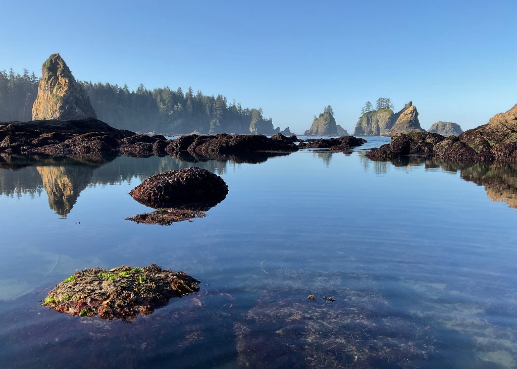
This project aims to 1) document the diversity, abundance, and distribution of species that occur in rocky intertidal habitats in Washington, particularly with regard to tidal elevation; 2) develop a model and publicly available mapping tool to predict how availability of intertidal habitat, at a species-specific level, will change under different sea level rise scenarios (Miller et al. 2018), and how this will impact species’ distribution and abundance; and 3) determine the level of connectivity among populations for a select set of species at sites throughout WA. Connectivity will influence the ability of a species to adjust to changes in habitat loss/gain at a broad scale, affecting overall resilience. The work is a collaborative effort between scientists and students at Western Washington University and MARINe (Multi-Agency Rocky Intertidal Network), a west coast-wide coordinated effort among academic, government, and private organizations to collect long-term “baseline” data that informs science-based management decisions and provides ecological context for understanding natural and anthropogenic change in rocky intertidal communities.
Project background
Predictions for sea level rise (SLR) in Washington vary by region but are estimated to be between 0.3 and 2.5 meters above current levels by 2100 (Miller et al, 2018). These projections pose immense social, economic, and ecological challenges with respect to the management and conservation of human and biological coastal ecosystems. Understanding the ecological consequences is particularly challenging because of the lack of information about the relationship between SLR, habitat availability, and species’ associations with habitat. Nowhere is this truer than for coastal areas subject to tidal influence, such as rocky intertidal systems. This project proposes to collect key information needed to predict SLR impacts on rocky intertidal habitat availability, to better understand the potential for resilience in species dependent on this habitat.
Results and findings
Biodiversity surveys were done using MARINe (Multi-Agency Rocky Intertidal Network) protocols at 7 Salish Sea sites in summer 2024 and three sites in summer 2025 in order to better document the diversity, abundance, and distribution of species that occur in rocky intertidal habitats in Washington. Multiple partners contributed field help or supported these surveys in other ways (e.g., site access, logistical support). All Biodiversity survey data have been entered and QA/QC’d, and summary graphs have been created. In areas where drone flights were permitted, high-resolution imagery was collected of each site and the surrounding rocky habitat. This information will be used to inform the Sea Level Rise predictive model and mapping tool that will be developed for MARINe sites and adjacent reef areas.
To determine the level of connectivity among populations for a select set of species at sites throughout WA, tissue samples were collected for four species, and DNA was extracted and sequenced at low coverage (2-3x), with SNPs identified using ANGSD and genetic structure analyzed via PCA and admixture analysis. Initial findings suggest potential barriers to gene flow or selective pressures shaping two species populations. Further analysis is needed to assess the role of geographic isolation, oceanographic barriers, and environmental factors in shaping these patterns.
Contact information
Jay Dimond
Assistant Professor
Western Washington University
360.650.7485
dimondj2@wwu.edu